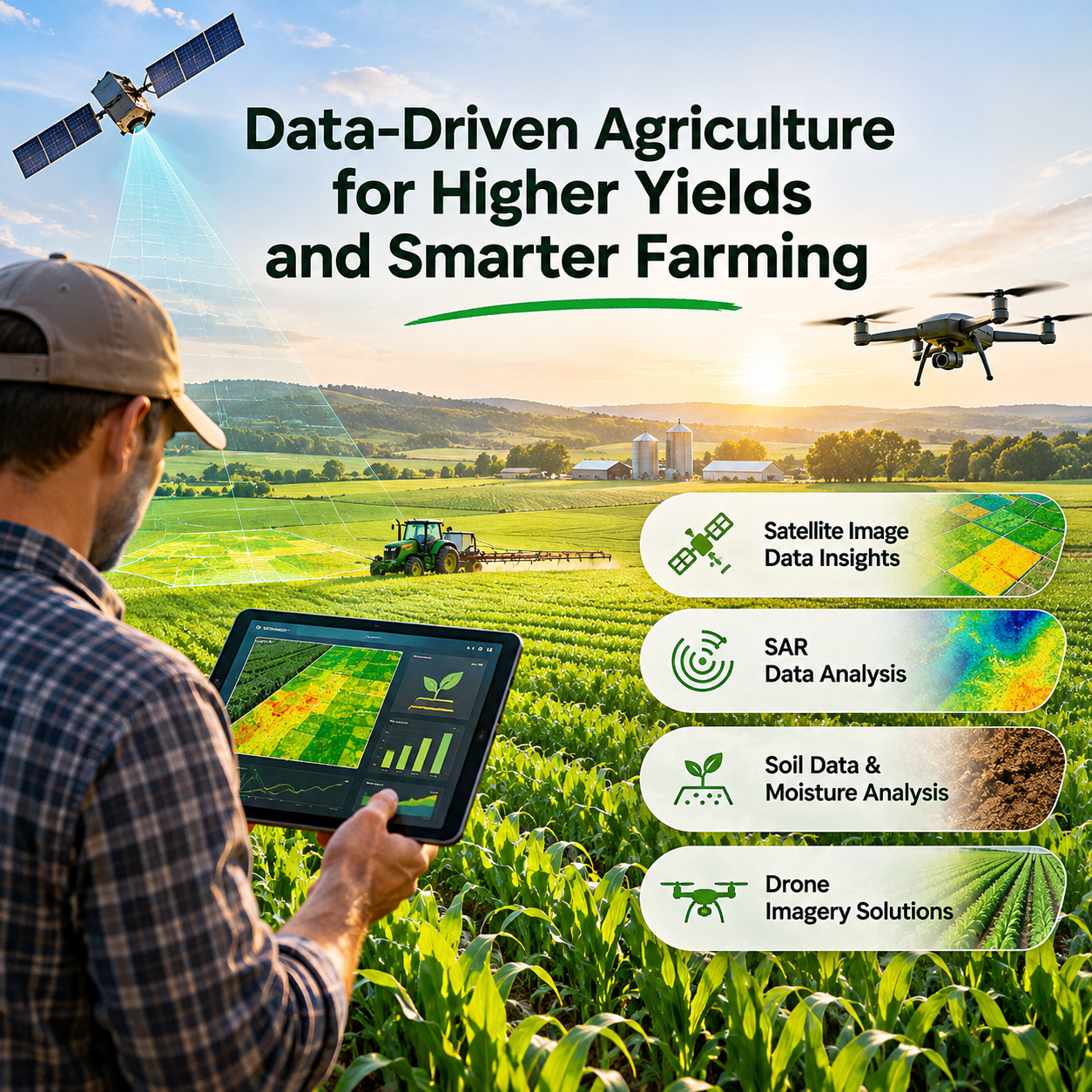



Agriculture is changing rapidly as technology creates new opportunities for farmers and agribusinesses. Traditional farming practices have always relied on experience, observation, and knowledge of the land. Today, data-driven insights are helping farmers make more informed decisions, understand crop conditions, and manage resources more efficiently.
N-atech is bringing technology and agriculture together through advanced precision agriculture services. By combining satellite imagery, multispectral data, Synthetic Aperture Radar (SAR), soil analysis, and drone imaging, N-atech helps farmers, growers, and agribusinesses gain valuable insights into their fields and improve farming operations.
What Is Data-Driven Agriculture?
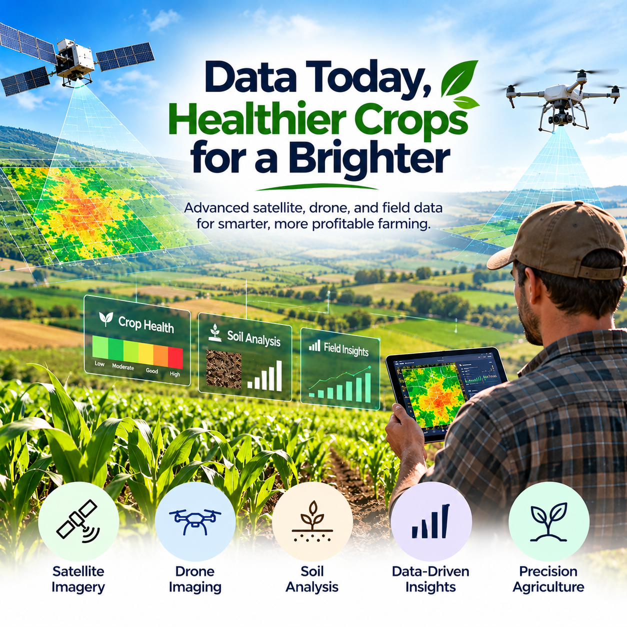
Data-driven agriculture uses technology and collected information to help farmers understand what is happening across their fields. Instead of relying only on visual inspections or traditional methods, farmers can use satellite images, soil data, and aerial imagery to make better decisions. These insights help identify variations in crop health, monitor soil moisture, assess vegetation conditions, and understand field performance. With the right information, farmers can make more informed decisions about irrigation, fertilisation, crop monitoring, and resource management.
How Satellite Imagery Helps Farmers Monitor Crop Health
Satellite imagery plays an important role in modern precision agriculture. It allows farmers to monitor large agricultural areas and identify changes in crop conditions without physically inspecting every part of a field.
N-atech uses multispectral satellite imagery to analyse vegetation health, monitor crop development, and identify potential pest and disease outbreaks.
These insights can help farmers recognise areas that may require attention and take timely action to protect their crops.
Satellite-based monitoring also makes it easier to observe field conditions over time, helping farmers understand crop performance throughout different growing stages.
Understanding SAR Data Analysis in Agriculture
Synthetic Aperture Radar (SAR) technology provides another valuable source of information for precision agriculture. Unlike conventional optical satellite imagery, SAR can collect useful information through cloud cover and in challenging weather conditions. This makes it particularly helpful when consistent field monitoring is required.
N-atech uses SAR data analysis to support terrain mapping, moisture content assessment, and displacement monitoring for subsidence detection. By adding SAR insights to agricultural data analysis, farmers and agribusinesses can gain a better understanding of field conditions and potential changes affecting their land.
Why Soil Data and Soil Moisture Analysis Matter
Healthy soil is one of the most important foundations of successful agriculture. Soil composition and moisture levels directly influence crop development, irrigation requirements, and overall farm management.
Understanding soil conditions helps farmers make more informed decisions about when and where to irrigate or apply fertilisers.
N-atech provides soil data and soil moisture analysis to help farmers better understand their agricultural land. These insights support more efficient irrigation planning, fertilisation decisions, and land management practices.
By understanding variations in soil conditions, farmers can work towards reducing unnecessary resource usage while supporting healthier crop growth.
Drone Imagery for More Detailed Field Monitoring
Drone technology is creating new possibilities for agricultural monitoring by providing high-resolution images of farmland. Compared with broader satellite observations, drones can capture detailed information about specific areas of interest. This makes them useful for crop scouting, field monitoring, and mapping agricultural land. N-atech offers drone imaging solutions tailored to different agricultural requirements. These services include high-resolution imagery, real-time data capture, and orthomosaic map generation. Drone imagery can help farmers observe field conditions more closely, identify areas that need attention, and better understand variations across their crops.
How Precision Agriculture Helps Reduce Resource Wastage
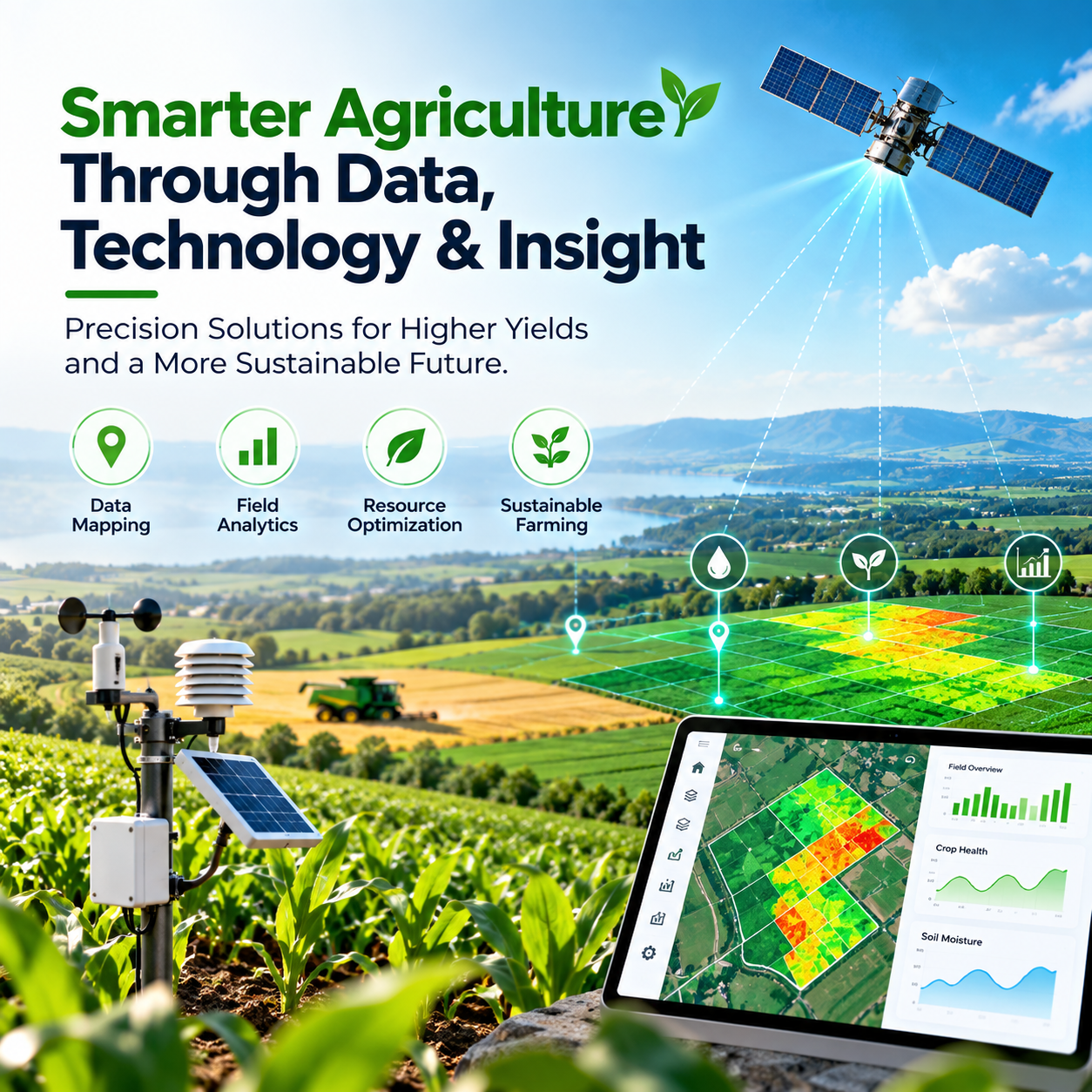
Managing agricultural resources efficiently is an important challenge for farmers. Water, fertilisers, labour, and other inputs need to be used carefully to maintain productivity and manage operating costs. Precision agriculture helps address this challenge by providing detailed information about different parts of a field. Satellite imagery, soil moisture analysis, SAR data, and drone imaging can help farmers identify areas with different requirements instead of treating the entire field in the same way. This data-informed approach supports more targeted decisions, helping farmers improve resource management and minimise unnecessary wastage.
Making Better Farming Decisions with Technology
One of the biggest advantages of data-driven agriculture is the ability to make decisions based on actual field information. Farmers can use crop health insights to identify areas requiring attention, soil moisture information to support irrigation planning, and drone imagery to examine specific field conditions. When these different data sources are combined, they provide a more complete picture of agricultural operations. N-atech brings these technologies together to help farmers, growers, and agribusinesses move towards more informed and efficient farming practices.
The Future of Precision Agriculture
The future of agriculture will increasingly depend on the effective use of technology and data. Satellite monitoring, radar analysis, drone imaging, and soil intelligence are changing how farmers understand and manage their land. As these technologies continue to develop, precision agriculture will create more opportunities to improve crop monitoring, optimise resource usage, and support sustainable farming practices. N-atech is committed to helping transform traditional agricultural practices through advanced technology and data-driven insights, giving farmers access to information that supports better decisions.
Conclusion
Successful farming depends on understanding the land, monitoring crop conditions, and making the right decisions at the right time. With growing access to satellite imagery, SAR data, soil analysis, and drone technology, farmers can gain a clearer picture of their agricultural operations.
N-atech combines these advanced technologies to deliver precision agriculture solutions that help farmers and agribusinesses improve field monitoring, manage resources more efficiently, and make informed decisions. By bringing data and agriculture together, N-atech is helping shape a smarter, more efficient, and more sustainable future for farming.

Leave a reply