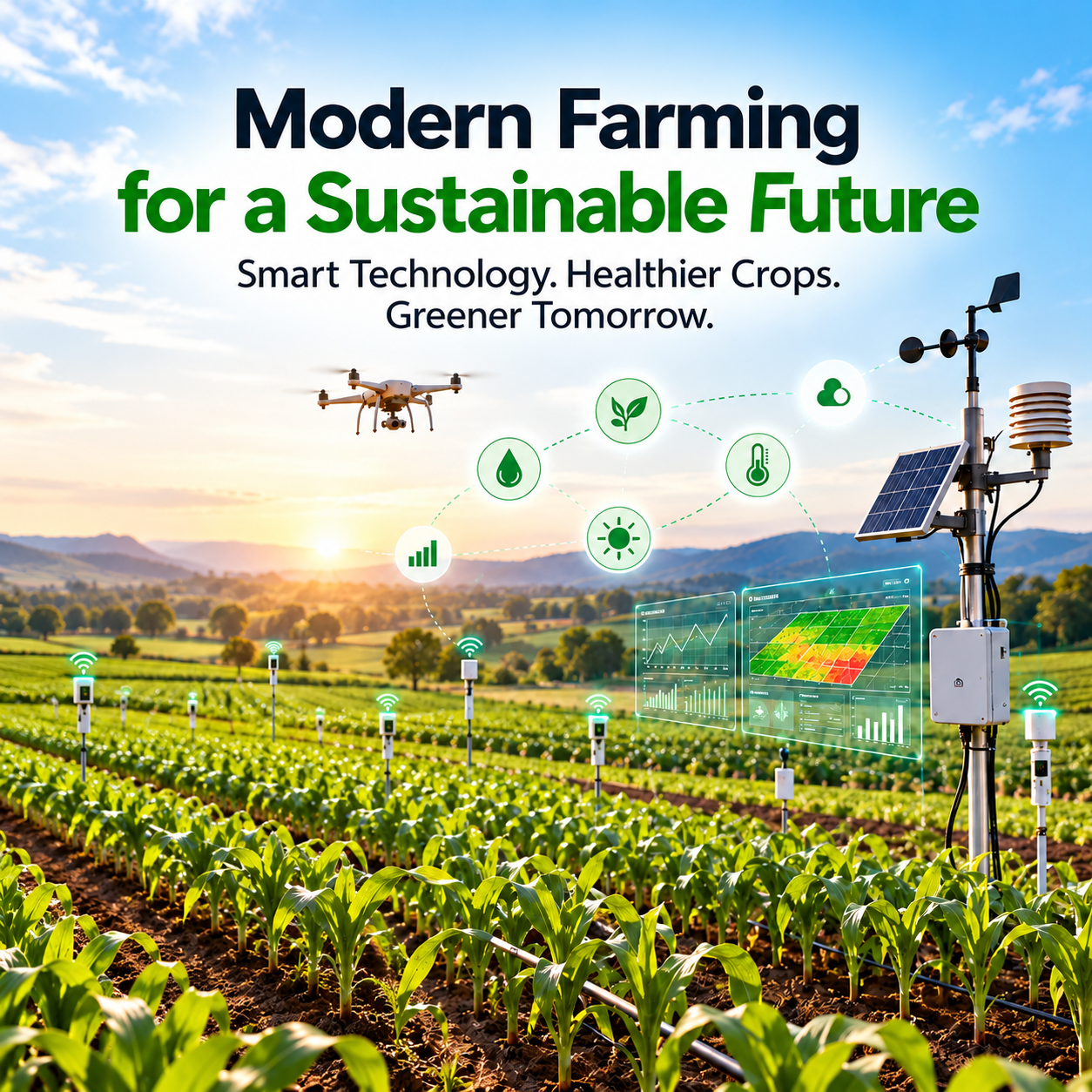



Agriculture is evolving as technology creates new opportunities to understand crops, manage resources, and make informed farming decisions. Modern farming is no longer based on field observations alone. By combining satellite imagery, drone data, soil analysis, and geospatial intelligence, agricultural businesses can gain a clearer understanding of field conditions and respond more effectively to changing agricultural needs.
N-Atech supports this transformation through precision agriculture services and data-driven insights that help farmers, growers, and agribusinesses make more informed decisions. Its approach brings together advanced imaging technologies and analytical methods to improve visibility into crop health, soil conditions, and land characteristics.
The Role of Smart Farming Technology in Modern Agriculture
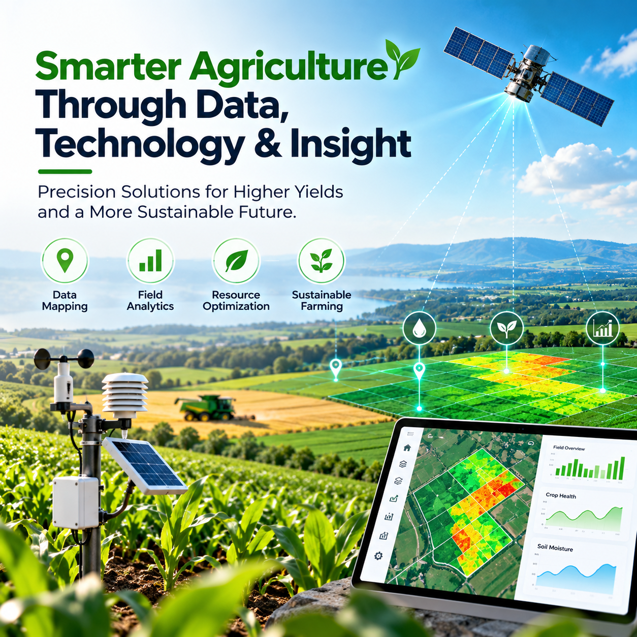
Smart farming technology helps turn agricultural data into useful information. Instead of treating an entire field as if conditions were identical everywhere, precision agriculture allows farmers to identify differences in crop health, soil characteristics, moisture levels, and vegetation performance.
This information can help agricultural teams determine where closer inspection may be needed, which areas require attention, and how resources can be allocated more efficiently. Data-driven farming supports a more targeted approach to field management while helping reduce unnecessary input use.
Satellite Imagery for Better Crop Monitoring
Satellite imagery is an important component of precision agriculture. Multispectral satellite data can help identify variations in vegetation health, monitor crop development, and reveal patterns that may not be visible through ordinary field observations.
By analysing vegetation indices such as the Normalized Difference Vegetation Index (NDVI) and the Normalized Difference Water Index (NDWI), agricultural specialists can assess vegetation performance and investigate possible moisture-related stress. These insights can support crop monitoring, drought assessment, crop area estimation, and seasonal agricultural analysis.
N-Atech uses satellite imagery and multispectral data to provide agricultural insights that help farmers better understand their fields and make evidence-informed management decisions.
Drone Technology for Detailed Field Analysis
Agricultural drones provide high-resolution imagery that can help examine specific areas of a field in greater detail. Drone-based monitoring is particularly useful when farmers need to investigate localised crop stress, assess vegetation conditions, or examine differences across growing areas.
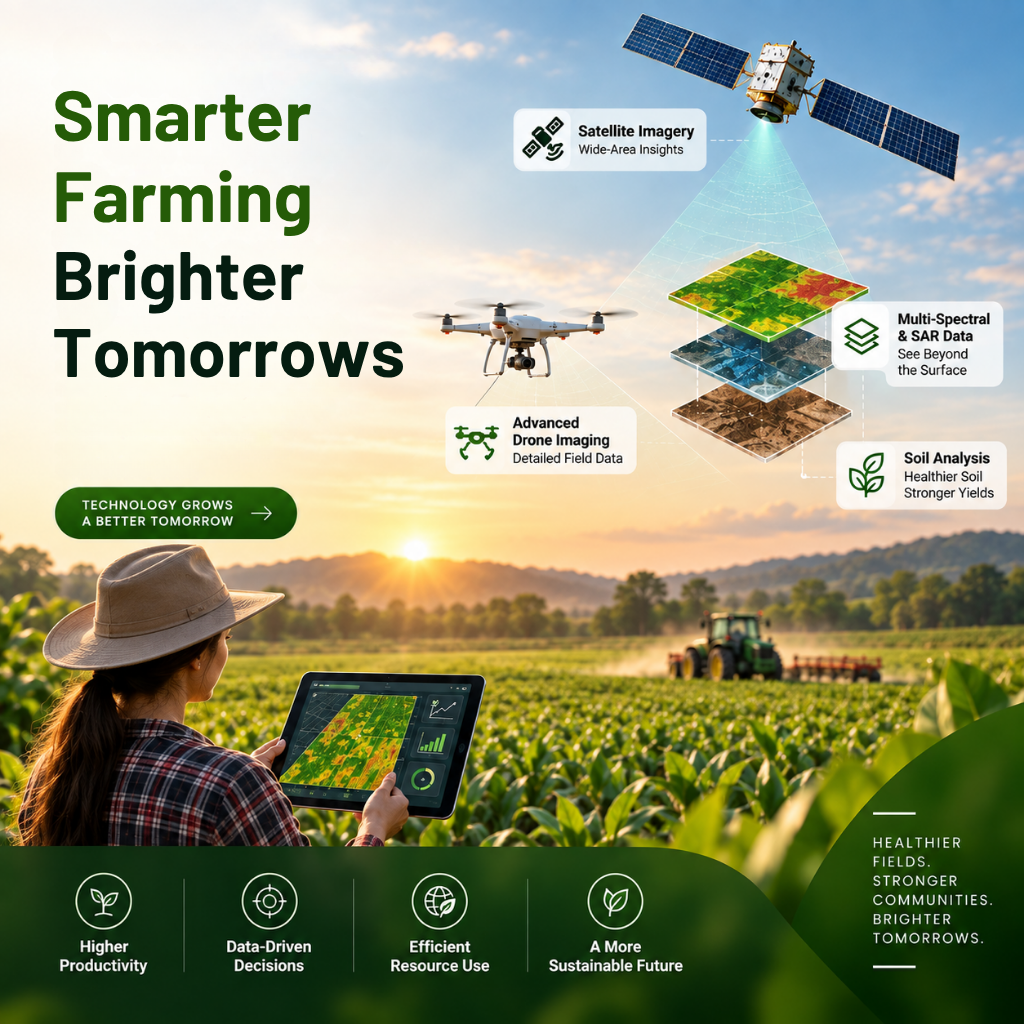
When combined with satellite observations, drone imagery provides an additional layer of detail for precision agriculture. Satellite data helps identify broader patterns, while drone imagery can support closer investigation of selected locations.
N-Atech offers drone imaging solutions for field monitoring, crop scouting, and mapping applications. These capabilities can help agricultural teams move from identifying a potential issue to understanding where further assessment may be required.
Soil Analysis and Moisture Assessment
Healthy soil is essential for sustainable agricultural production. Differences in soil composition, fertility, and moisture can influence crop development and the effectiveness of farming inputs.
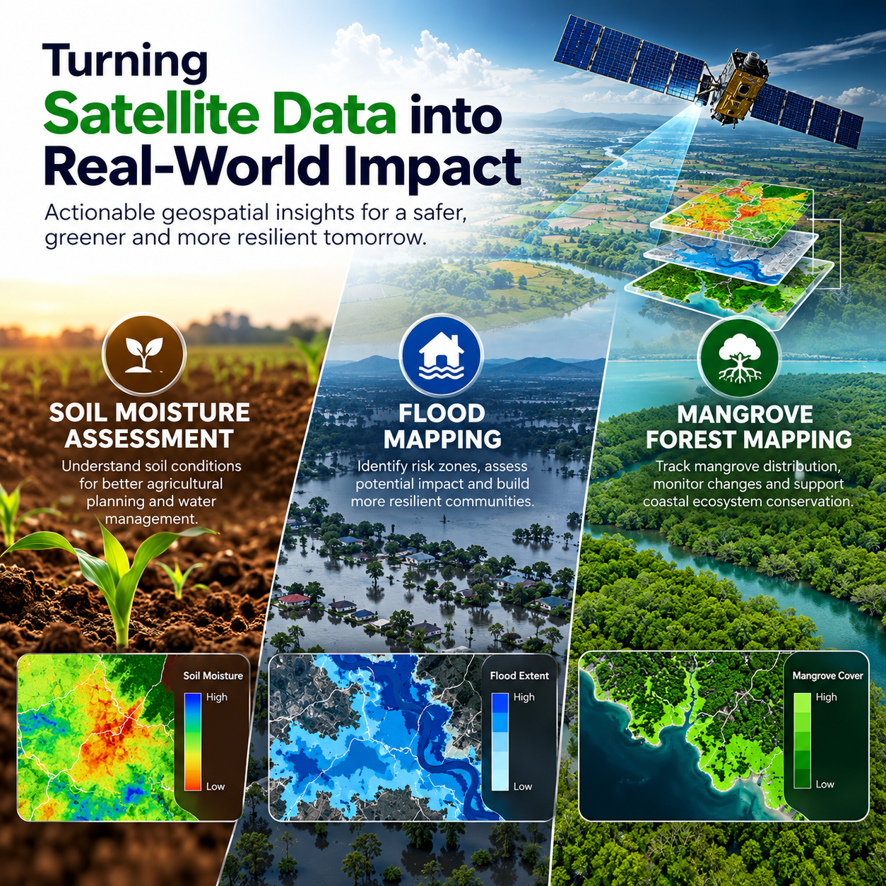
Soil analysis and moisture assessment help build a clearer picture of field conditions. When these findings are combined with satellite imagery and geospatial information, farmers can better understand how agricultural conditions vary across their land.
This information can support irrigation planning, fertiliser management, soil resource mapping, and more informed land management decisions. By understanding these variations, agricultural businesses can investigate opportunities to improve resource use while maintaining appropriate growing conditions.
Geospatial Intelligence and Precision Agriculture
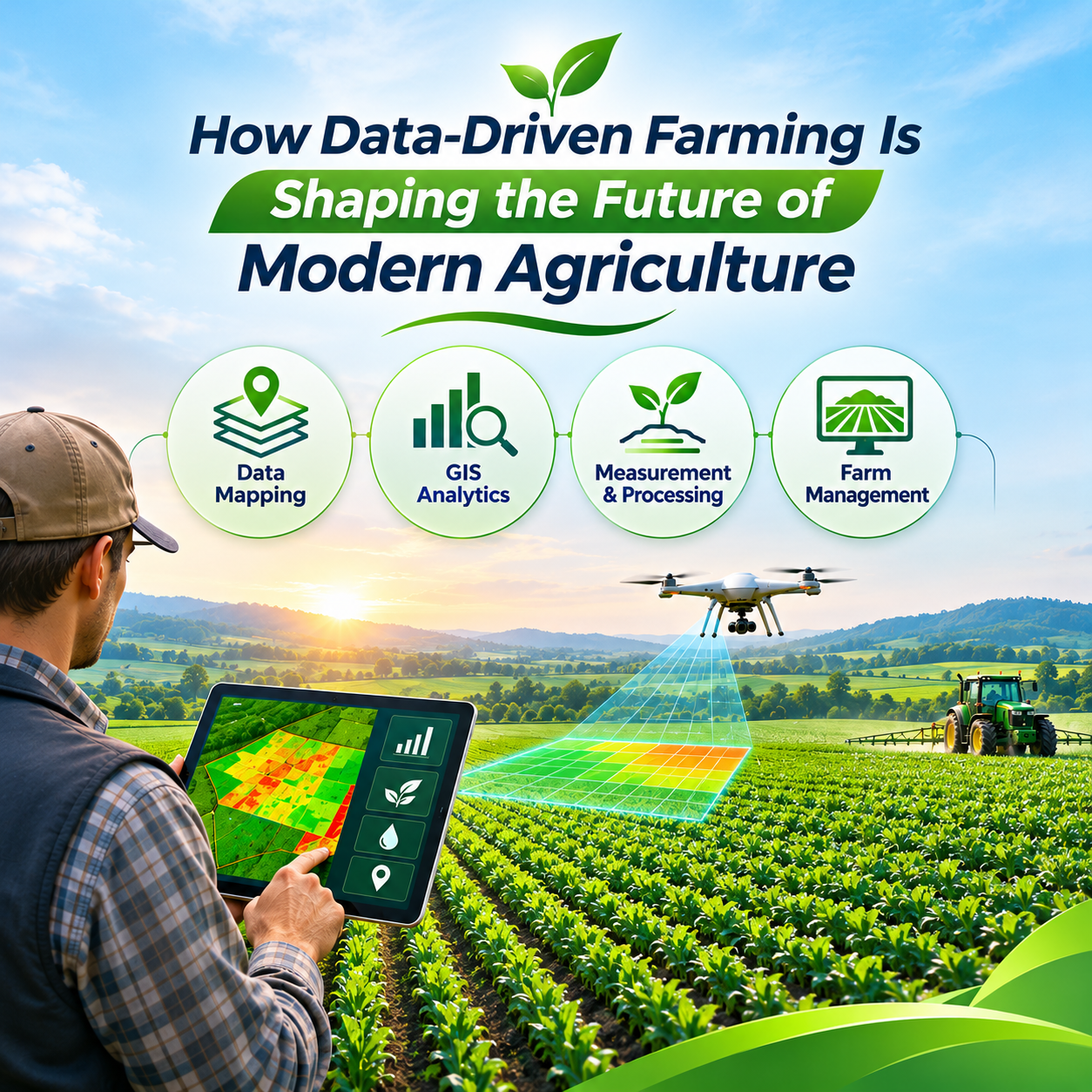
Geographic Information System (GIS) technology helps transform agricultural data into maps and spatial insights. By bringing together satellite imagery, soil information, terrain characteristics, and field observations, GIS analysis can reveal patterns that are difficult to recognise from individual data sources.
These insights can support crop identification, land-use mapping, agricultural area estimation, and the assessment of changes over time. They also help farmers and agricultural analysts compare different parts of a field and identify locations that may need additional attention.
For modern agriculture, geospatial intelligence provides a valuable foundation for understanding land variability and planning more targeted field activities.
Data-Driven Decisions for Sustainable Farming
Sustainable agriculture involves using land, water, and other farming resources responsibly while supporting long-term productivity. Technology can contribute by helping agricultural teams understand field conditions more accurately and identify opportunities to reduce avoidable waste.
For example, crop health monitoring may highlight areas requiring inspection, while soil and moisture analysis can provide useful information for irrigation and land management planning. Geospatial analysis can also help identify differences in field performance and support more targeted agricultural interventions.
Technology does not replace farmers' experience or on-site assessment. Instead, it complements practical knowledge with additional evidence, allowing agricultural decisions to be based on a more complete understanding of field conditions.
The Future of Agriculture Is Data-Driven
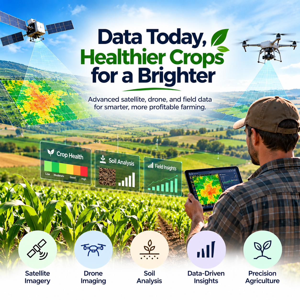
As agricultural operations become more complex, access to reliable information will remain essential. Satellite observations, drone imagery, soil analysis, and geospatial analytics offer complementary ways to understand crop development, land characteristics, and changing environmental conditions.
The value of these technologies lies in connecting different sources of information and interpreting them in a way that supports practical decisions. With a clearer view of field conditions, agricultural businesses can investigate risks earlier, prioritise resources, and improve the consistency of their management processes.
N-Atech contributes to this future through precision agriculture services designed to transform agricultural data into meaningful insights. By combining advanced imaging, soil intelligence, and spatial analysis, the company helps farmers and agribusinesses better understand their land and make informed decisions.
Conclusion
Modern farming is about more than adopting new equipment. It is about using information to understand agricultural conditions, manage resources carefully, and make better decisions throughout the growing season.
Smart farming technology, satellite imagery, drone monitoring, soil analysis, and GIS-based intelligence each play an important role in this transition. When these capabilities work together, they can help agricultural teams identify field variations, assess crop health, and support more sustainable land management practices.
With its focus on precision agriculture and data-driven insights, N-Atech helps bring technology and agricultural decision-making closer together. A more informed approach to farming can support efficient resource use, stronger operational planning, and a more sustainable future for agriculture.

Leave a reply