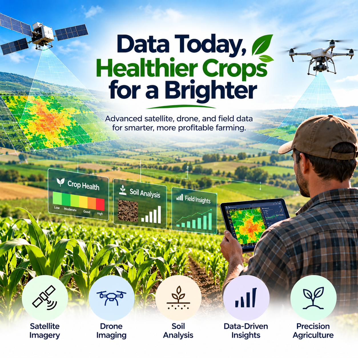



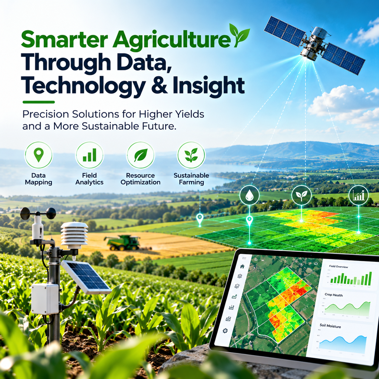
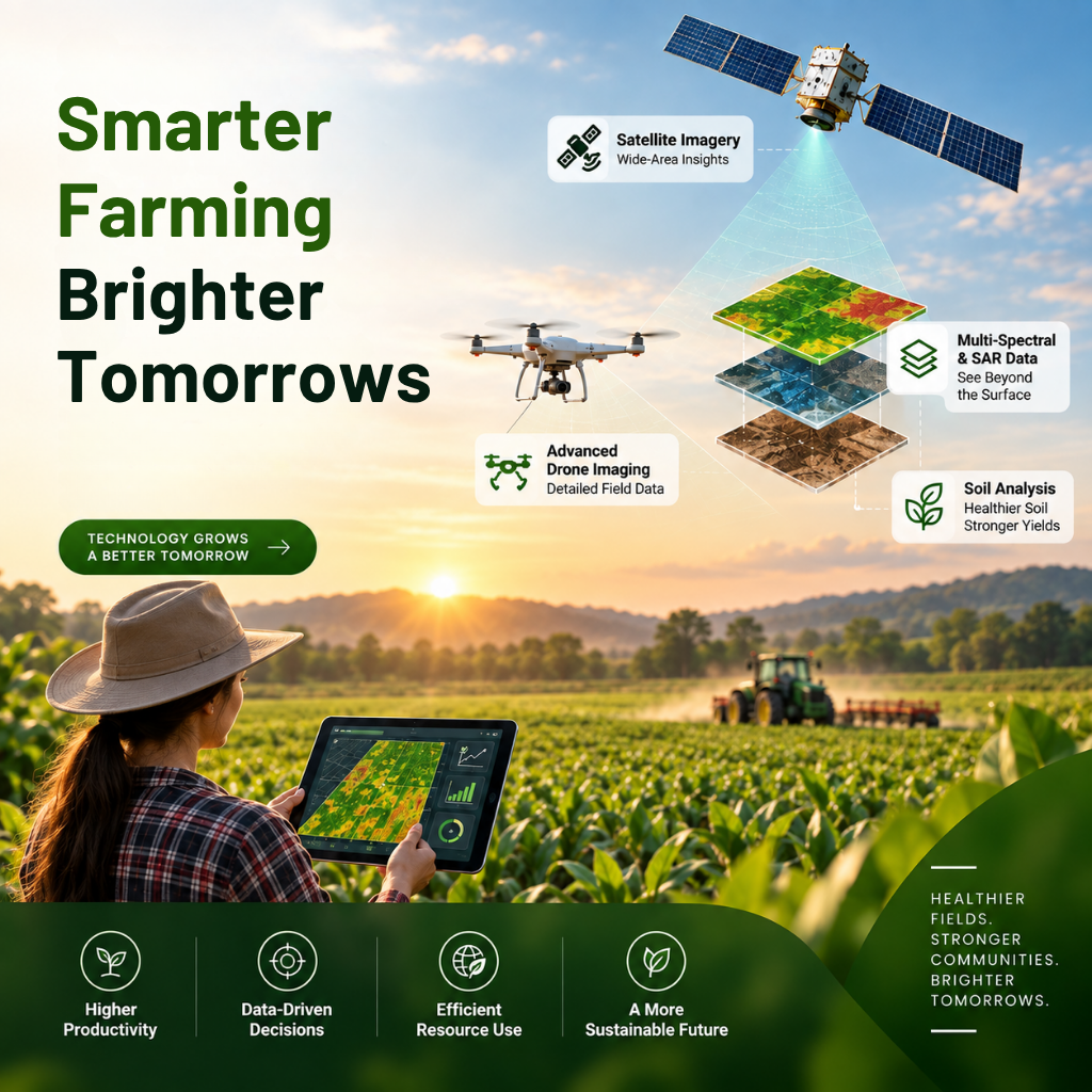
Agriculture is evolving as farmers face increasing pressure to improve productivity, manage resources efficiently, and respond to changing environmental conditions. Traditional farming methods remain valuable, but access to accurate field data can help farmers make more informed decisions about crop health, soil conditions, and agricultural operations. Precision agriculture combines advanced technology with data-driven insights to help farmers understand their fields more accurately. By using satellite imagery, multispectral data, synthetic-aperture radar (SAR), soil analysis, and drone imaging, agricultural professionals can gain a deeper understanding of field conditions and identify opportunities to improve farm management. N-Atech is helping advance precision agriculture through technology-driven services designed to empower farmers, growers, and agribusinesses. By transforming agricultural data into actionable insights, these solutions support smarter decisions and more efficient farming practices.
Understanding Precision Agriculture
Precision agriculture is a modern farming approach that uses technology and field-specific information to guide agricultural decisions. Rather than treating an entire field as if conditions were identical everywhere, farmers can use detailed data to understand variations in crop health, soil properties, and growing conditions.
This approach helps agricultural professionals identify areas that may require additional attention and make more informed decisions about farm operations. Precision farming technology can support better resource management, improved monitoring, and a clearer understanding of agricultural performance.
How Satellite Imagery Improves Crop Monitoring
Satellite imagery provides valuable information about agricultural fields across large areas. By observing land conditions from above, farmers and agricultural specialists can monitor crop development, identify variations in vegetation, and track changes over time.
Multispectral satellite data can help assess vegetation characteristics that are not always visible to the naked eye. These insights can support crop health monitoring and help farmers identify areas that may need further investigation.
With satellite-based agricultural monitoring, farmers can gain a broader view of their fields and make decisions based on consistent observations rather than relying exclusively on visual inspections.
The Role of Drone Imaging in Modern Farming
Drone imaging provides a closer view of agricultural land and can capture detailed information about crops and field conditions. This technology can complement satellite imagery by helping agricultural professionals examine specific areas that require more attention.
Advanced drone imaging can support field inspections, crop monitoring, and the identification of visible variations across farmland. When combined with other agricultural data, drone imagery can help farmers better understand localized challenges and plan appropriate next steps.
The integration of drone technology into precision agriculture creates opportunities for more targeted monitoring and informed field management.
Soil Analysis for Better Agricultural Decisions
Healthy soil is essential for productive agriculture. Soil analysis helps farmers understand important soil characteristics and identify conditions that may influence crop development.
By combining soil information with satellite imagery, drone observations, and other field data, agricultural professionals can build a more complete picture of growing conditions. This information can support decisions about soil management, crop planning, and the efficient use of agricultural inputs.
A data-driven approach to soil analysis helps farmers move toward more informed management practices that consider the specific needs of their fields.
Using SAR Data for Agricultural Insights
Synthetic-aperture radar (SAR) is a remote sensing technology that uses radar signals to collect information about the Earth's surface. Unlike optical imagery, SAR can collect useful observations through cloud cover and does not depend on sunlight in the same way as conventional optical satellite sensors.
In agriculture, SAR data can complement other remote sensing sources by providing additional information about field conditions and changes over time. When integrated with multispectral imagery and soil analysis, it can contribute to a more comprehensive understanding of agricultural land.
Combining different data sources allows precision agriculture services to examine field conditions from multiple perspectives.
Data-Driven Farming for Greater Efficiency
Agricultural decisions often involve balancing productivity, operating costs, resource availability, and environmental considerations. Data-driven farming helps bring relevant information together so farmers can make more informed choices.
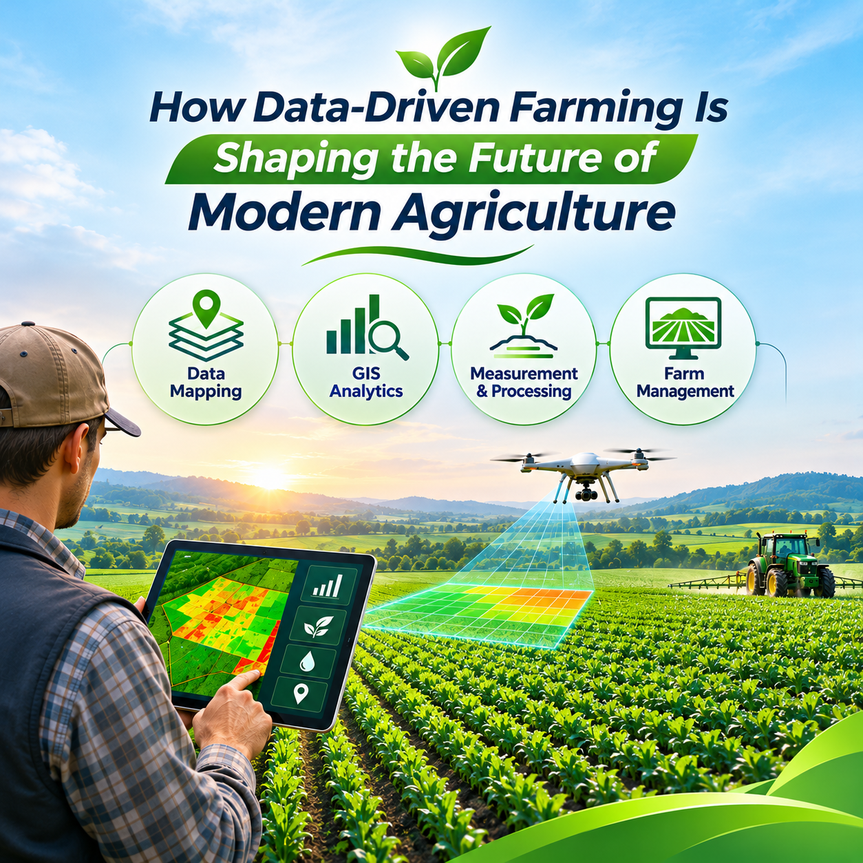
By analyzing satellite imagery, drone data, soil conditions, and other agricultural information, farmers can identify patterns and prioritize areas that require attention. This can support more targeted field inspections, better planning, and more efficient use of resources.
N-Atech focuses on precision agriculture services that use advanced data sources to help farmers, growers, and agribusinesses optimize their operations.
The Benefits of Precision Agriculture Technology
Precision agriculture can help agricultural businesses improve their understanding of crop and soil conditions while supporting more targeted management decisions. Access to detailed field information can make it easier to identify potential issues, compare conditions across different areas, and plan farming activities more effectively.
When applied appropriately, precision farming technology can support resource efficiency, informed crop monitoring, and improved operational planning. The results depend on data quality, local farming conditions, the tools used, and how effectively insights are incorporated into day-to-day agricultural decisions.
The Future of Smart Agriculture
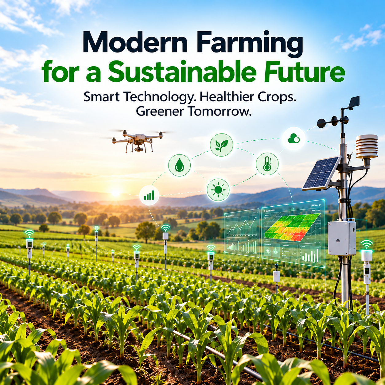
The future of agriculture will increasingly involve connected technologies, remote sensing, advanced analytics, and more accessible agricultural data. Satellite systems, drone imaging, SAR observations, and soil analysis can work together to provide a more detailed understanding of farming environments.
As these technologies continue to develop, farmers and agribusinesses will have greater opportunities to adopt data-driven approaches that support operational efficiency and informed decision-making.
N-Atech's focus on precision agriculture services reflects this movement toward technology-enabled farming, helping agricultural professionals use advanced data sources to better understand their land and optimize their operations.
Conclusion: Empower Smarter Farming with N-Atech
Precision agriculture is changing how farmers monitor crops, understand soil conditions, and manage agricultural operations. By combining satellite imagery, multispectral data, SAR technology, soil analysis, and advanced drone imaging, farmers can gain valuable insights into the conditions affecting their fields.
N-Atech provides customized precision agriculture solutions designed to empower farmers, growers, and agribusinesses through advanced technology and data-driven insights. With a better understanding of agricultural conditions, farming professionals can make more informed decisions and work toward more efficient, productive operations.

Leave a reply