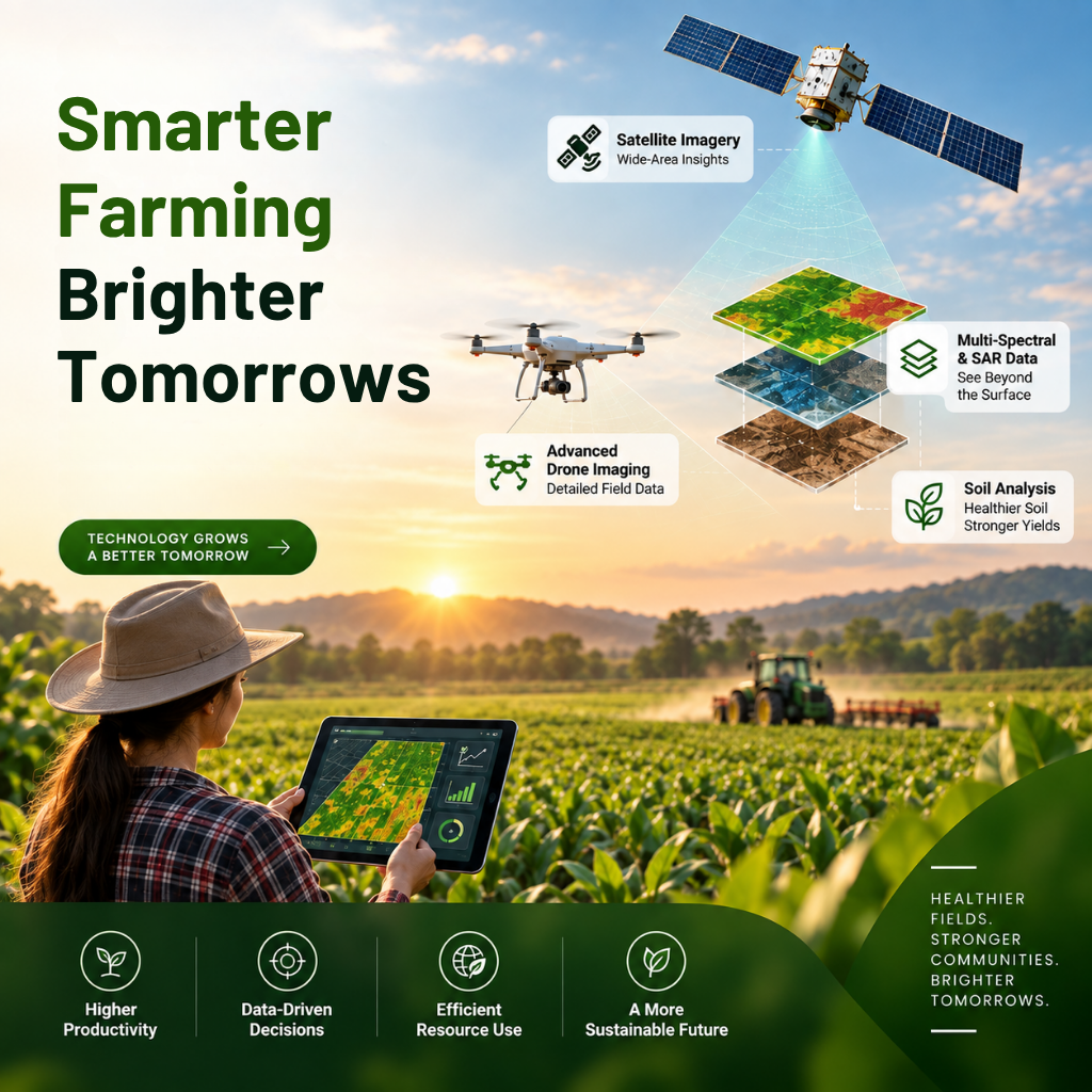



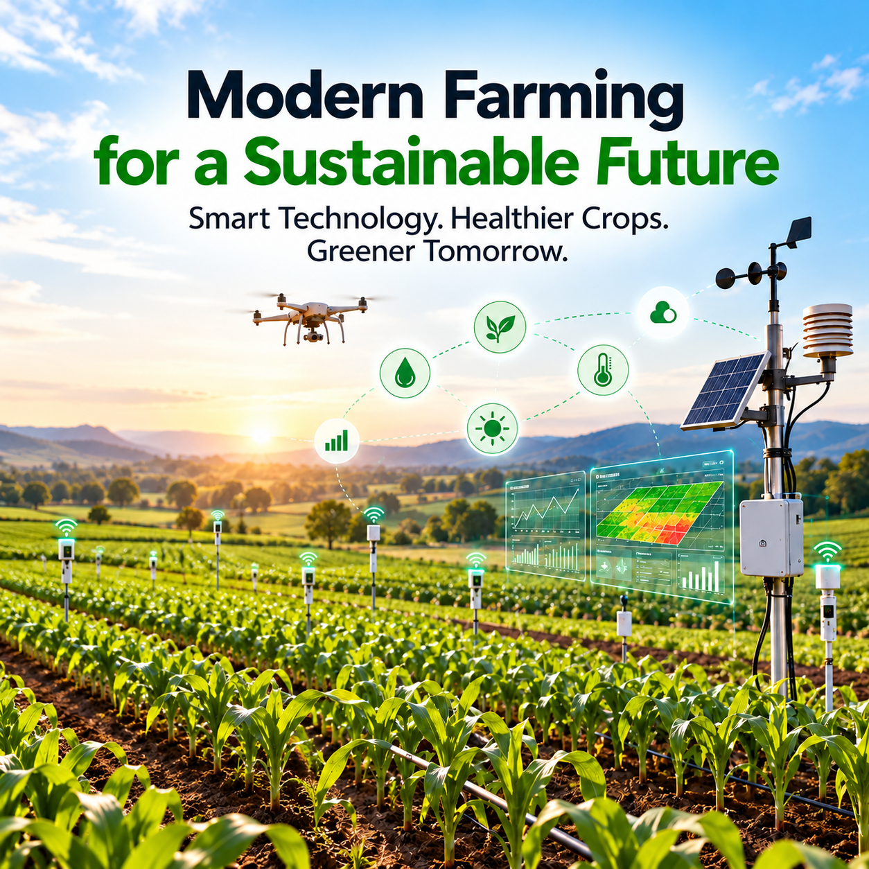
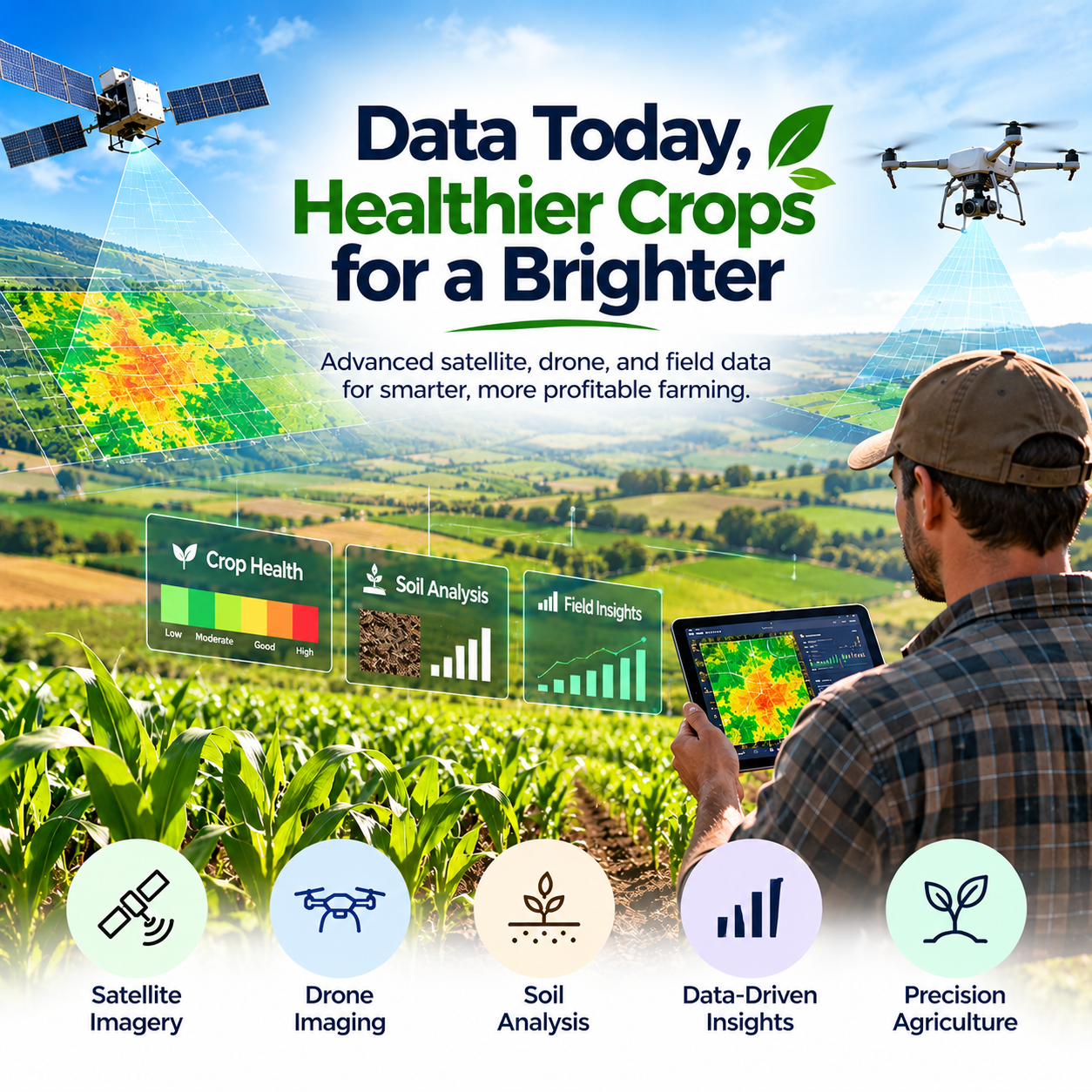
Agriculture is becoming increasingly data-driven, and modern farmers need accurate information to make better decisions about crops, soil, water, and field operations. N-Atech is helping transform precision agriculture by combining satellite imagery, multispectral data, synthetic-aperture radar (SAR), soil analysis, and advanced drone imaging to provide detailed insights for farmers, growers, and agribusinesses. By turning complex geospatial and agricultural data into practical information, precision agriculture can help improve field monitoring, optimize resources, and support more informed operational decisions.
Data-Driven Precision Agriculture
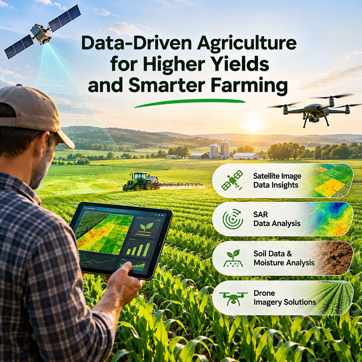
Traditional farming decisions often depend on field observations, historical information, and environmental conditions. Precision agriculture adds another layer of insight by using remotely sensed and field-level data to understand what is happening across different areas of a farm. N-Atech's precision agriculture services use technologies such as satellite imagery, vegetation indices, soil information, SAR data, and drone imagery to help analyze crop and field conditions. This enables agricultural businesses to work with detailed spatial information rather than relying only on observations from individual locations.
Satellite Imagery for Crop Monitoring
Satellite imagery can provide valuable information across large agricultural areas and over different time periods. N-Atech works with multispectral satellite datasets, including Landsat and Sentinel imagery, to support crop monitoring and agricultural analysis. Vegetation indices such as NDVI, NDRE, GNDVI, NDWI, SAVI, LAI, and NDMI can be used to examine vegetation vigor, moisture conditions, crop development, and other field characteristics. These insights can support crop monitoring, area estimation, drought assessment, cropping-pattern analysis, and agricultural planning.
Multispectral and SAR Data
Different remote-sensing technologies provide different perspectives of agricultural land. Multispectral imagery can capture information across multiple spectral bands, helping identify variations in vegetation and crop conditions. Synthetic-aperture radar (SAR) provides another valuable source of information and can be useful in conditions where optical imagery is limited by cloud cover. N-Atech's SAR analysis capabilities include terrain mapping, moisture-related assessment, displacement monitoring, and agricultural applications using datasets such as Sentinel-1.
Soil and Moisture Analysis
Understanding soil conditions is essential for effective agricultural management. Soil composition and moisture levels can influence crop growth, irrigation requirements, fertilization strategies, and overall land management. N-Atech provides soil and soil-moisture analysis to help generate a more detailed understanding of agricultural land. Its project work also includes digital soil mapping and analysis of properties such as sand, clay, silt, and organic carbon using geospatial and machine-learning approaches.
Advanced Drone Imaging
Satellite data can provide broad coverage, while drones can capture highly detailed information at field level. N-Atech's drone imaging services are designed for applications including field monitoring, crop scouting, and orthomosaic mapping. Drone imagery can provide high-resolution RGB and NIR information that helps identify localized crop conditions and areas requiring closer attention. This combination of aerial imagery and geospatial analysis can provide farmers and agribusinesses with a more detailed view of their fields.
From Data to Better Agricultural Decisions
The real value of precision agriculture comes from transforming raw data into information that can support practical decisions. Crop maps, vegetation-index analysis, yield estimates, drought assessments, soil information, and other geospatial outputs can help agricultural stakeholders understand field variability and identify areas that may require further investigation. N-Atech's services are designed around customized agricultural insights that help farmers, growers, and agribusinesses use technology and data as part of their operational planning.
Technology for the Future of Agriculture
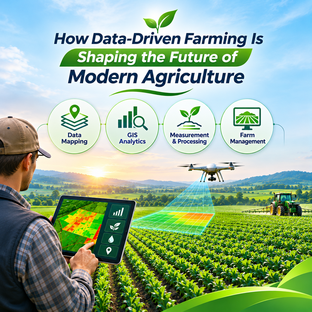
As agriculture faces changing environmental conditions, resource constraints, and increasing demand for productivity, technology can play an important role in improving how agricultural information is collected and analyzed. Combining satellite imagery, SAR, multispectral data, soil analysis, drone imaging, GIS, and data-driven methods creates opportunities for more detailed monitoring and informed agricultural management. N-Atech's work in remote sensing, precision agriculture, crop analysis, soil and land applications, and related geospatial projects demonstrates how these technologies can be applied across different agricultural and environmental use cases.
Conclusion
Precision agriculture is changing the way farmers and agribusinesses understand their land and make operational decisions. By combining satellite imagery, multispectral and SAR data, soil analysis, drone imaging, and advanced geospatial techniques, N-Atech provides technology-driven insights that can help agricultural stakeholders better understand crops, soil, moisture, and field conditions. As agriculture continues to become more connected and data-driven, these technologies provide a foundation for smarter monitoring, more informed planning, and more efficient agricultural operations.

Leave a reply